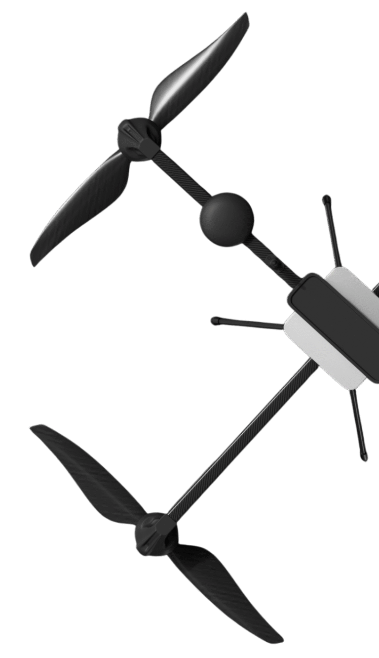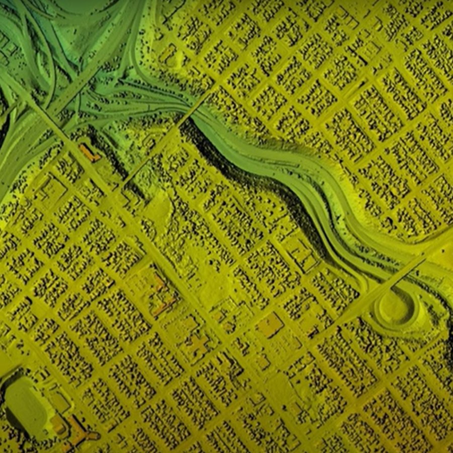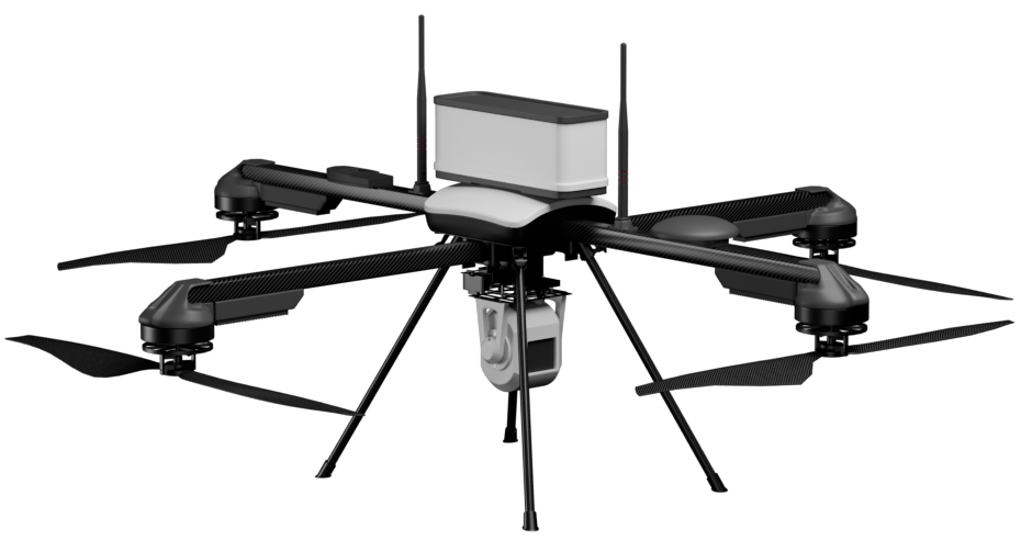

INDUSTRY-LEADING TECHNOLOGY Access to the latest drone technology and sensors, including LiDAR, GPR, and multispectral payloads.

EXPERIENCED TEAM
A dedicated team
of GIS experts, pilots, and industry
veterans with years of experience in
both drone technology and the
industries we serve.

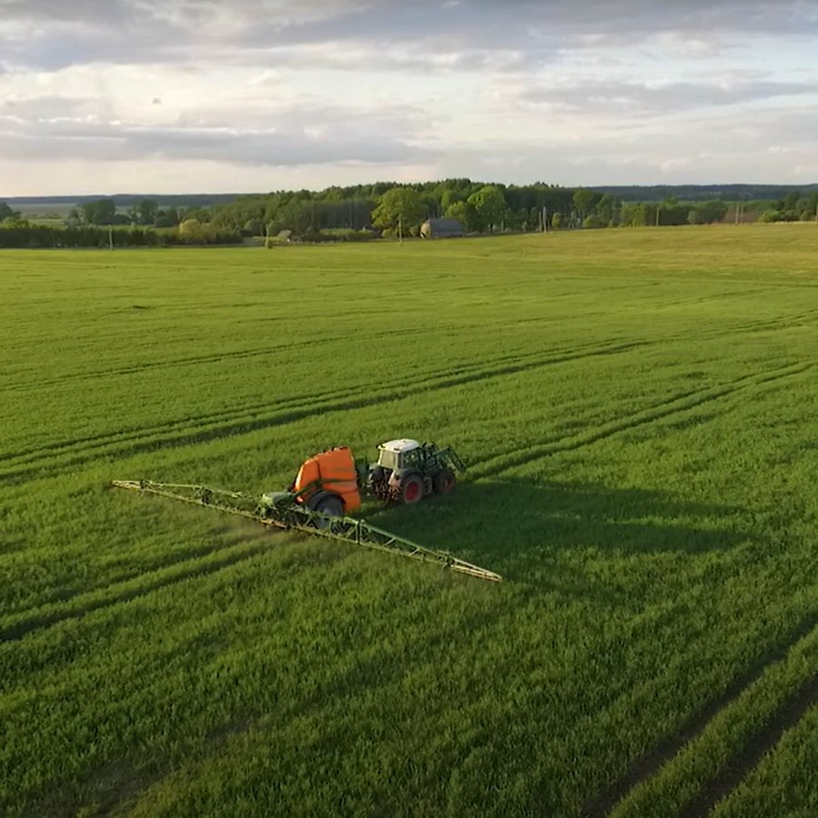
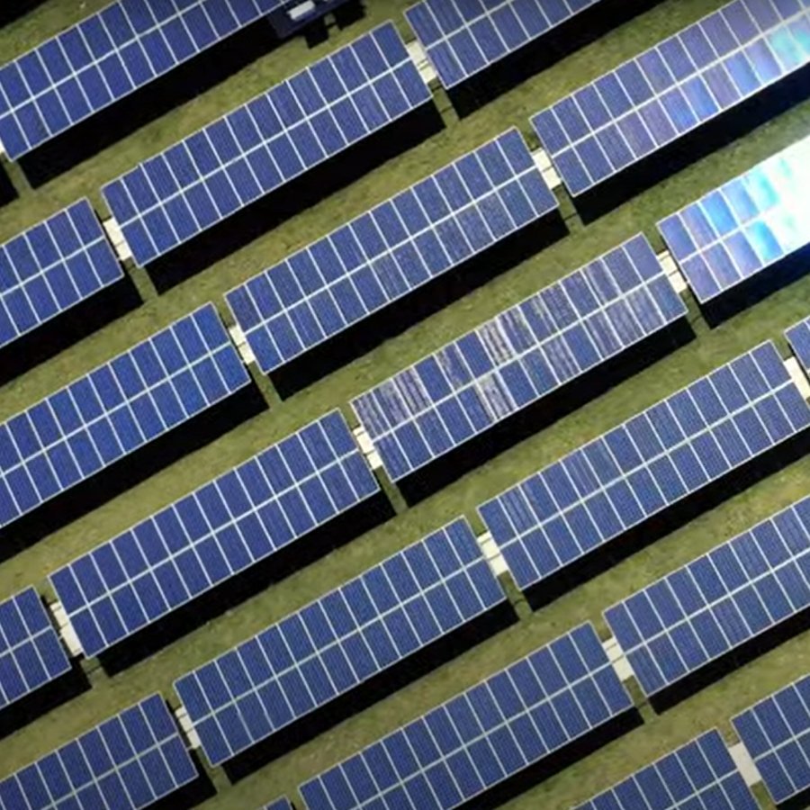
END-TO-END SOLUTIONS
From data
collection to analysis, we handle the
entire process to ensure the highest
quality and actionable insights for
your projects.