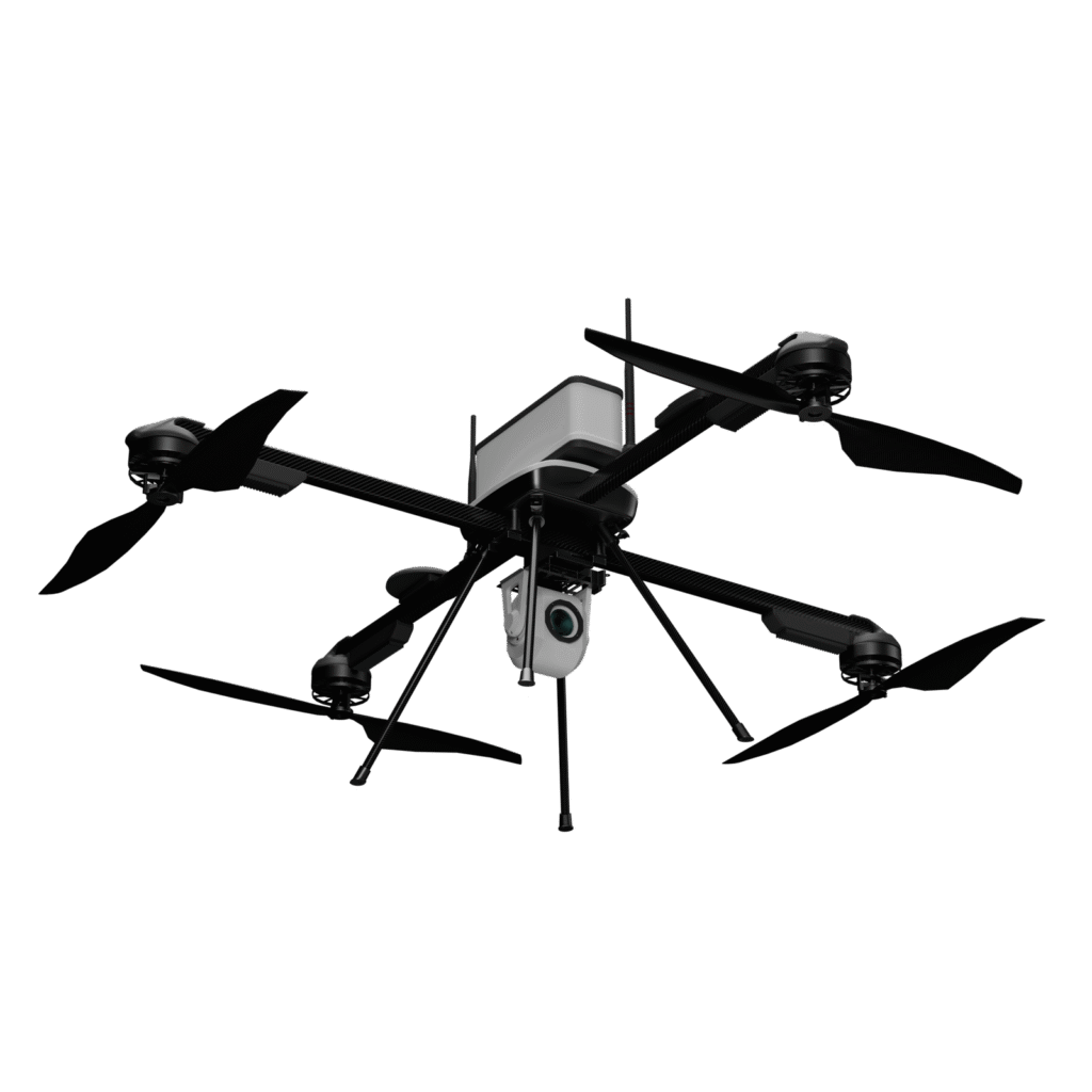
Forest Mapping and Surveying
• LiDAR sensors and RGB cameras are used to create detailed forest maps, identifying tree density, topography, and canopy coverage.
• 3D models of the forest floor and canopy can be generated to help forestry professionals visualize the area in three dimensions for more effective management.

Forest Inventory and Biomass Estimation
• Drones equipped with LiDAR can help calculate biomass and estimate the number, height, and type of trees in a forested area.
• This inventory helps determine the forest’s economic value and supports sustainable timber harvesting.

Forest Fire Monitoring and Prevention
• Thermal cameras can be used to detect hot spots and monitor fire risks in remote forested areas.
• Drones can provide real-time surveillance, helping prevent and control wildfires by detecting fires before they spread.

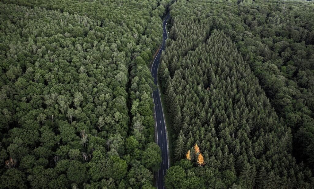
Deforestation Monitoring and Illegal Logging Detection
• RGB cameras and AI algorithms help in monitoring illegal logging activities, detecting unauthorized deforestation, and tracking forest cover loss over time.
• Drones can also assess the impact of deforestation and offer real-time data for enforcement agencies to take immediate action.

Wildlife Monitoring and Habitat Mapping
• Drones equipped with multispectral and thermal sensors enable the tracking of wildlife populations, migration patterns, and forest biodiversity.
• This data helps in understanding and protecting critical habitats for endangered species.

Soil and Vegetation Analysis
• By using Multispectral sensors, drones can capture detailed images to analyze soil conditions, vegetation types, and overall forest health.
• This is critical for forest management, as it helps in planning reforestation efforts, improving soil quality, and enhancing biodiversity.

Reforestation and Afforestation
• Drones are valuable tools for reforestation projects, providing accurate mapping and monitoring of newly planted areas.
• Drones can also track the survival rates of seedlings and monitor the growth progress of reforestation efforts over time.
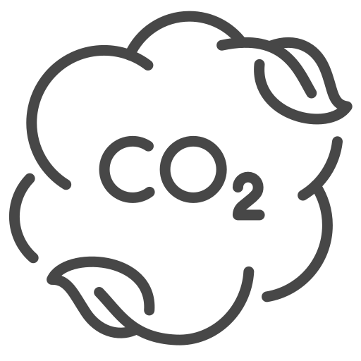
Forest Carbon Stock Assessment
• Drones equipped with LiDAR and RGB cameras help assess the forest's carbon sequestration capacity by mapping tree volumes and biomass.
• This information is crucial for understanding the forest’s role in mitigating climate change and for carbon credit programs.

Slope and Erosion Analysis
• Drones can be used to survey forested slopes and analyze soil erosion risks, particularly in areas vulnerable to heavy rainfall.
• LiDAR and RGB data help identify areas at risk, ensuring better erosion control and sustainable forest management.