Surveying and Route Planning
•Pre-Construction Surveys:
Conduct detailed topographic surveys to identify optimal routes.
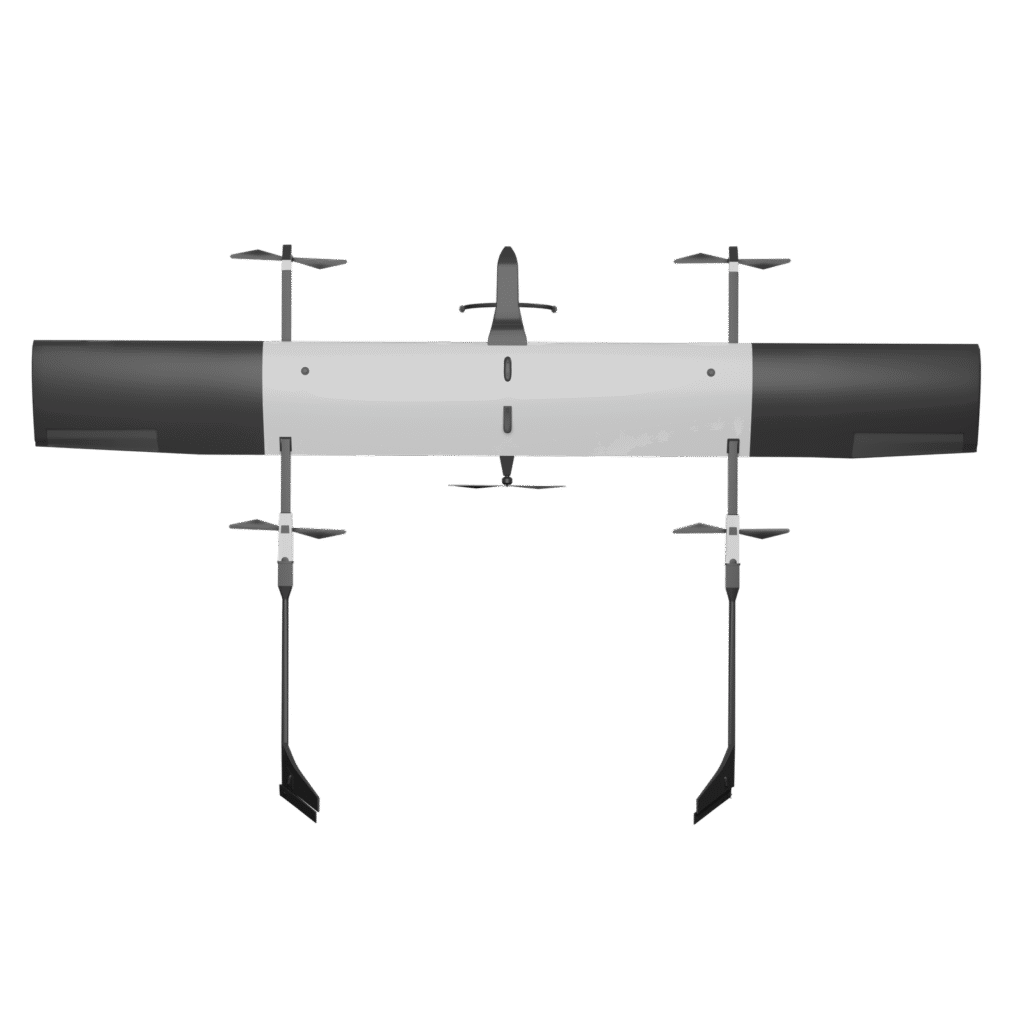
Use LiDAR, RGB, and Multispectral sensors for terrain mapping and environmental analysis.
• Right-of-Way (ROW) Analysis:
Identify and resolve encroachments along proposed routes.

Construction Monitoring
• Progress Tracking:
Use drones to capture aerial imagery and videos of ongoing highway projects.
Provide real-time updates to project managers and stakeholders.
• Material Stockpile Assessments:
Measure and monitor construction materials like gravel, sand, and asphalt using volumetric analysis.

Road Condition Monitoring
• Inspect cracks, potholes, and wear using high-resolution RGB imagery.
• Detect subsurface issues with Ground Penetrating Radar (GPR).

Safety Inspections
• Monitor bridges, flyovers, and tunnels for structural integrity.
•Use thermal cameras to detect heat loss or stress points in infrastructure.

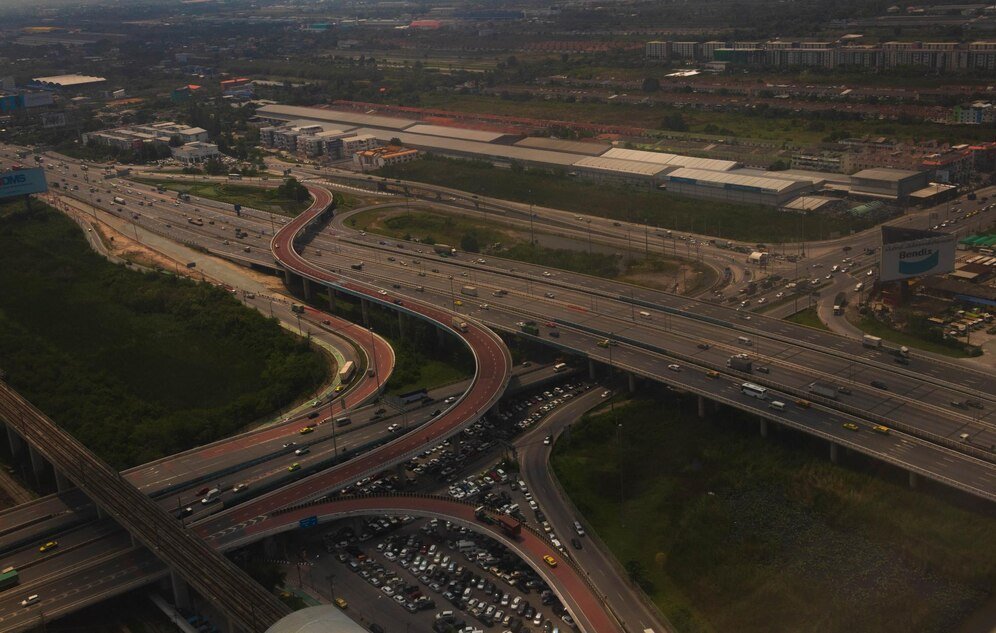
Traffic Management and Accident Analysis
•Provide live aerial footage to assess traffic congestion and plan diversions.
• Quickly survey accident sites for investigation and damage assessments.
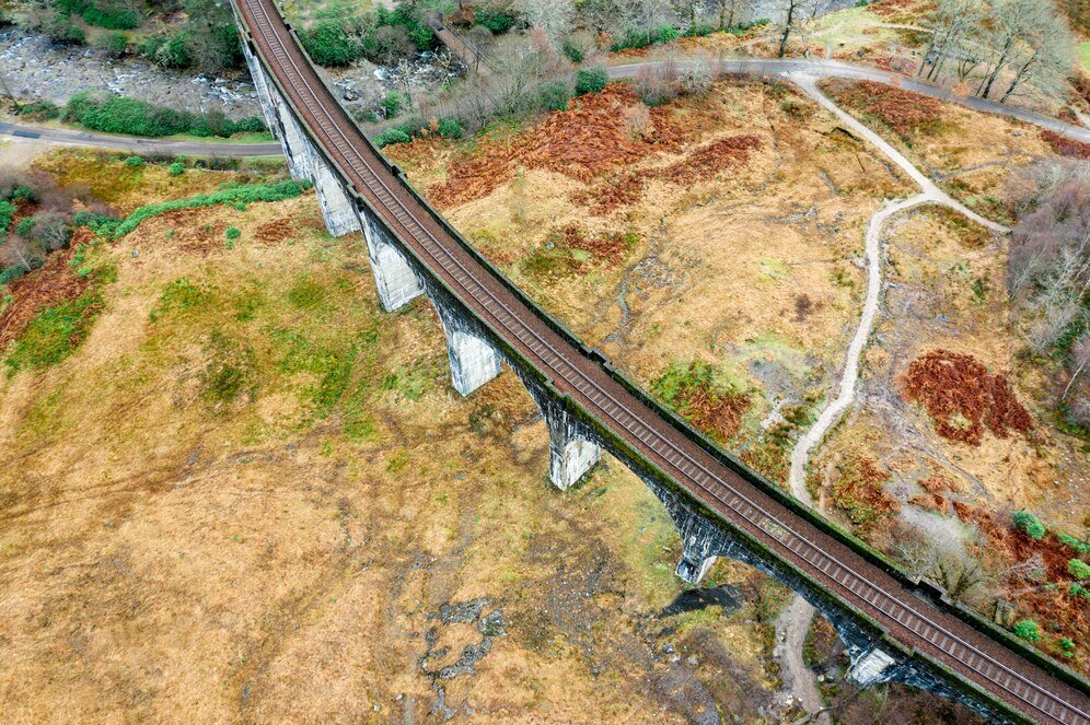
Railway Track Monitoring
• Inspect tracks for cracks, misalignments, and damages using RGB and LiDAR sensors.
• Perform regular track maintenance audits to ensure safe train operations.

Bridge and Tunnel Inspections
• Use drones to inspect hard-to-reach areas of railway bridges and tunnels.
• Thermal imaging identifies hidden cracks, leaks, or weaknesses.
Encroachment Detection
• Monitor railway corridors for unauthorized structures or activities.
• Ensure compliance with safety and operational regulations.

Vegetation Management
• Identify overgrown vegetation near tracks using Multispectral sensors.
• Plan and implement effective clearance strategies.

Railway Station and Yard Management
• Conduct aerial surveys of railway stations and yards for planning and maintenance.
• Assess layouts for efficiency and optimize storage or parking space.

Construction of New Lines
• Perform detailed pre-construction surveys for new railway lines.
• Use drone data to monitor construction progress and address challenges in real time.