
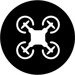
Surveying and Mapping
High accuracy geospatial data collection and analysis for infrastructure projects, land planning, and environmental studies.

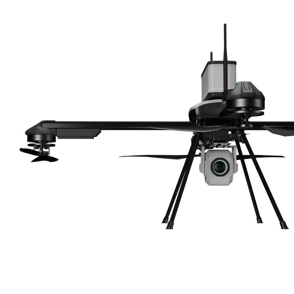
Surveillance and Security
On-demand, real-time monitoring and security solutions for defense, policing, and industrial safety.

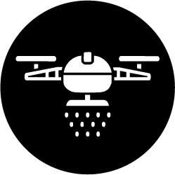
Agricultural Solutions
Drone-assisted precision farming, pesticide spraying, and crop health monitoring.
Custom Data Solutions
Tailored drone technology and sensors for specialized needs, including LiDAR, thermal, and multispectral data collection.
Drone Shows
Mesmerizing drone light shows that can be fully customized to the client’s requirements (weddings, birthdays, special occasions, brand promotions etc)

Ashis Poddar
Founder & CEO
- Founder of 2 Drone Startup's
- Wholetime Director of RKBK Limited
- Business degree from Northeastern University with concentrations in Entrepreneurship, Finance, and Management.

Yashwardhan Poddar
Partner
- International Business Experience for over 35 years
- Honorary Consul of Paraguay at Kolkata
- Managing Director of RKBK Limited

Mohan Raj
Technical Head
- 19+ Years experience in Photogrammetry, LiDAR, Mobile LiDAR , UAV Multi task ,Ortho photo, R&D support UAV(Drone) Projects and GIS.

Rajesh Kumar
Operations Manager
- 20+ years of global expertise in UAV Mapping, LiDAR, Photogrammetry & GIS, delivering projects across the US, Europe, Middle East, and India
