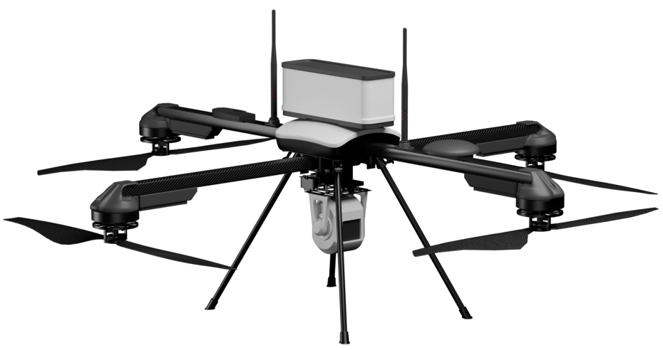
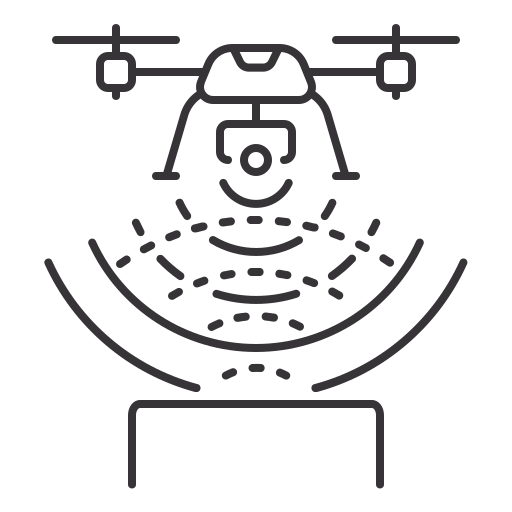
Aerial Surveillance
• On-Demand monitoring of mining sites for enhanced operational visibility.
• Ensure compliance with safety protocols and identify unauthorized activities.

Surface Plans and Mapping
• Create high-resolution orthomosaic maps for better visualization of mining sites.
• Generate accurate digital elevation models (DEMs) for detailed planning and execution.

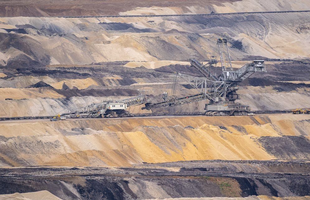
Volumetric Estimations
• Measure stockpile volumes and excavation outputs with high precision.
• Provide accurate inventory management and reconciliation.

GIS Solutions for Mining
• Use geospatial data to optimize exploration, planning, and operational efficiency.
• Integrate GIS systems to track changes over time and enhance decision-making.
Drone LiDAR Surveys
• Capture highly accurate terrain data, even in dense vegetation or rugged terrain.
• Produce 3D models for pit optimization and resource planning.

Surface Runoff Analysis
• Assess water flow patterns to design effective drainage systems.
• Minimize erosion and environmental impact through precise planning.

Haul Road Analysis
• Optimize haul road design for improved efficiency and reduced maintenance costs.
• Identify problem areas like ruts or excessive grades using detailed drone data.

Slope Stability Analysis
• Monitor slope angles and stability to prevent landslides and ensure worker safety.
• Provide detailed topographic data for better geotechnical evaluations.

Blast Mapping and Monitoring
• Pre- and post-blast assessments to optimize fragmentation and reduce overburden.
•Identify areas for improvement to minimize operational downtime and costs.
Underground Mining Analysis (GPR and Magnetometers)
• Use Ground Penetrating Radar (GPR) and magnetometers to assess underground voids, fractures, and mineral deposits.
• Detect magnetic anomalies for exploration and planning.

Thermal Analysis for Underground Fires
• Identify and monitor underground fires with thermal imaging.
• Aid in fire suppression planning and ensure worker safety.

Thermal Inspections of Equipment and Machinery
• Detect overheating components in machinery to prevent failures and costly downtime.
• Enable predictive maintenance for critical equipment.

Thermal Stockpile Assessments
• Monitor stockpile temperatures to prevent spontaneous combustion.
• Ensure safety and compliance with regulations.