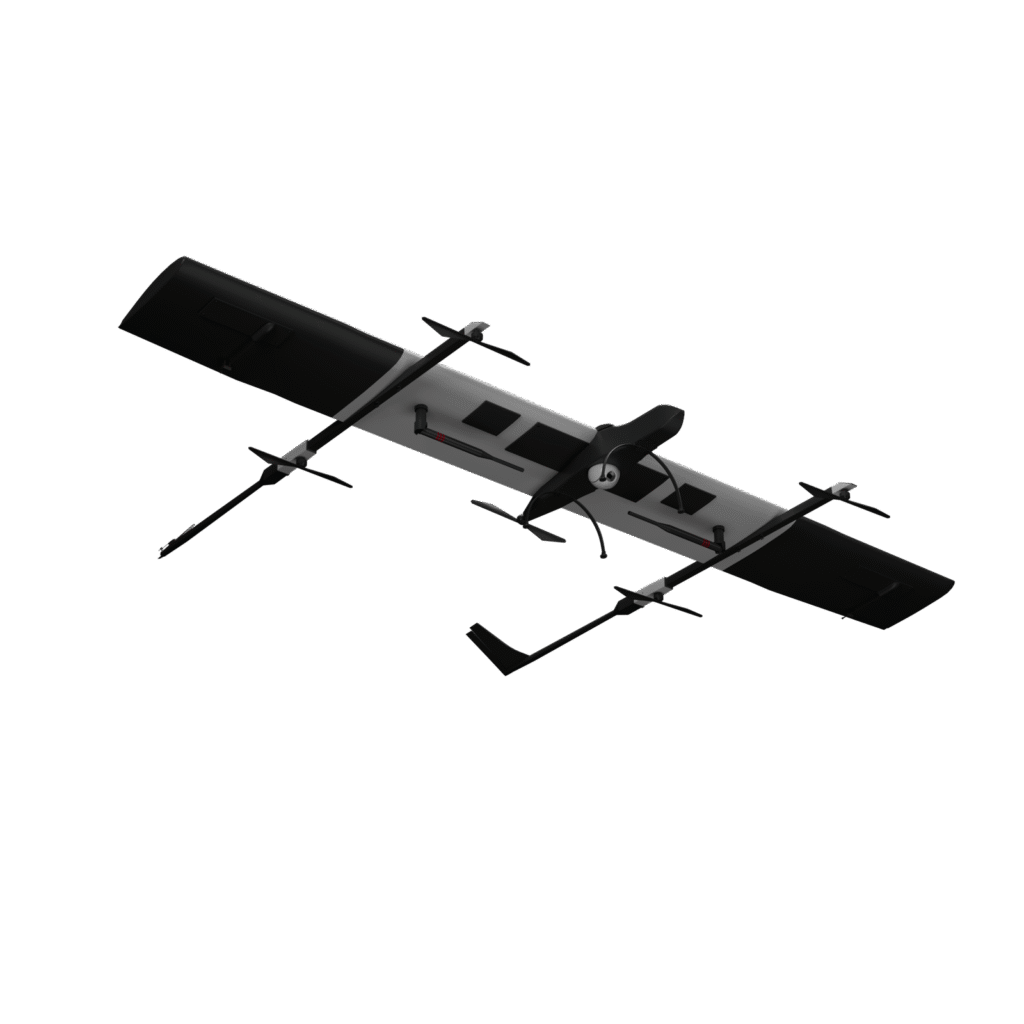
Surveying, Mapping, and GIS Solutions
Advanced Sensors We Work With

RGB Sensors
•Capture high-resolution imagery for photogrammetry, orthomosaic mapping, and 3D modeling.
• Ideal for topographic surveys, infrastructure inspection, and construction progress monitoring.

LiDAR Sensors
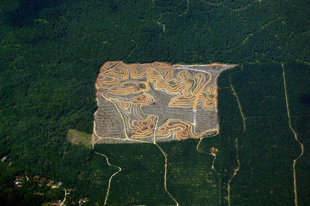
• Generate precise 3D point clouds for terrain mapping, vegetation analysis, and urban planning.
• Suitable for densely forested areas, mining, and infrastructure development projects.

Thermal Sensors
•Detect heat anomalies for equipment inspections, underground fire assessments, and energy efficiency studies.

Multispectral and Hyperspectral Sensors
• Analyze vegetation health, water quality, and soil conditions for agriculture, forestry, and environmental monitoring.

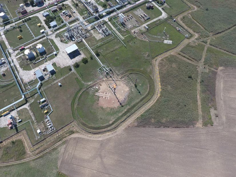
Ground Penetrating Radars (GPR)
• Perform subsurface mapping to identify underground utilities, mineral deposits, and archaeological features.
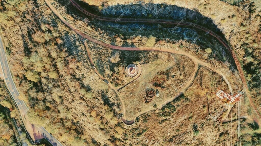
Magnetometers
•Locate ferrous materials underground, useful for mining, archaeological studies, and pipeline detection.

Satellite Imagery Integration
•Combine drone data with high-resolution satellite imagery for regional analysis and large-scale mapping projects.

Types of Maps We Create
- Topographic Maps
Depict elevation and terrain features for urban planning, infrastructure development, and environmental studies. - Orthomosaic Maps
High–resolution, georeferenced 2D maps for precision agriculture, construction, and land surveying. - 3D Terrain Models
Create digital elevation models (DEM) and digital surface models (DSM) for hydrology, urban planning, and mining. - Thermal Maps
Identify heat signatures for industrial inspections, underground fires, and solar panel efficiency analysis. - Multispectral and Hyperspectral Maps
Generate vegetation indices (NDVI, NDRE) and soil composition maps for agriculture and environmental studies. - Contour Maps
Represent terrain gradients for civil engineering, infrastructure planning, and water management projects. - Volumetric Analysis
Measure stockpile volumes in mining, construction, and material management.

Applications of Our Mapping Solutions
- Urban Planning and Development: Facilitate land use planning, infrastructure development, and smart city projects.
- Environmental Monitoring: Track deforestation, monitor biodiversity, and assess water quality.
- Disaster Management: Support post–disaster relief efforts with accurate terrain mapping and damage assessments.
- Mining and Quarrying: Generate surface plans, monitor erosion, and optimize resource extraction.
- Forestry and Agriculture: Analyze vegetation health, plan reforestation, and improve agricultural practices.
- Infrastructure Development: Plan and monitor roads, railways, and large–scale construction projects.

GIS Solutions We Offer
- Data Collection Tools
- Deploy drones, DGPS stations, and total stations to gather accurate geospatial data.
- Integrate satellite data for large–scale and regional mapping projects.
- Ground Control Points (GCPs):
- Use GCPs to enhance the accuracy of aerial surveys and geospatial data.
- Custom GIS Solutions:
- Build customized GIS platforms for data visualization, analysis, and decision–making.
- Spatial Data Analysis:
- Perform in–depth spatial analysis to generate actionable insights for urban planning, infrastructure, and environmental studies.
- AI–Driven GIS Processes:
- Train AI models on proprietary and customer–permitted datasets for automated anomaly detection, pattern recognition, and process optimization.

Why Use Drones for Surveying and Mapping?
- Faster Data Collection
Cover large areas in less time compared to traditional methods. - High Precision
Obtain centimeter–level accuracy with advanced sensors and GCP integration. - Cost–Effective
Reduce operational costs by replacing labor-intensive ground surveys. - Improved Safety
Conduct surveys in hazardous or hard–to–reach areas without risking human safety. - Enhanced Insights
Generate high–quality maps and models that provide actionable data for various industries